1370th PMW TRIBUTE


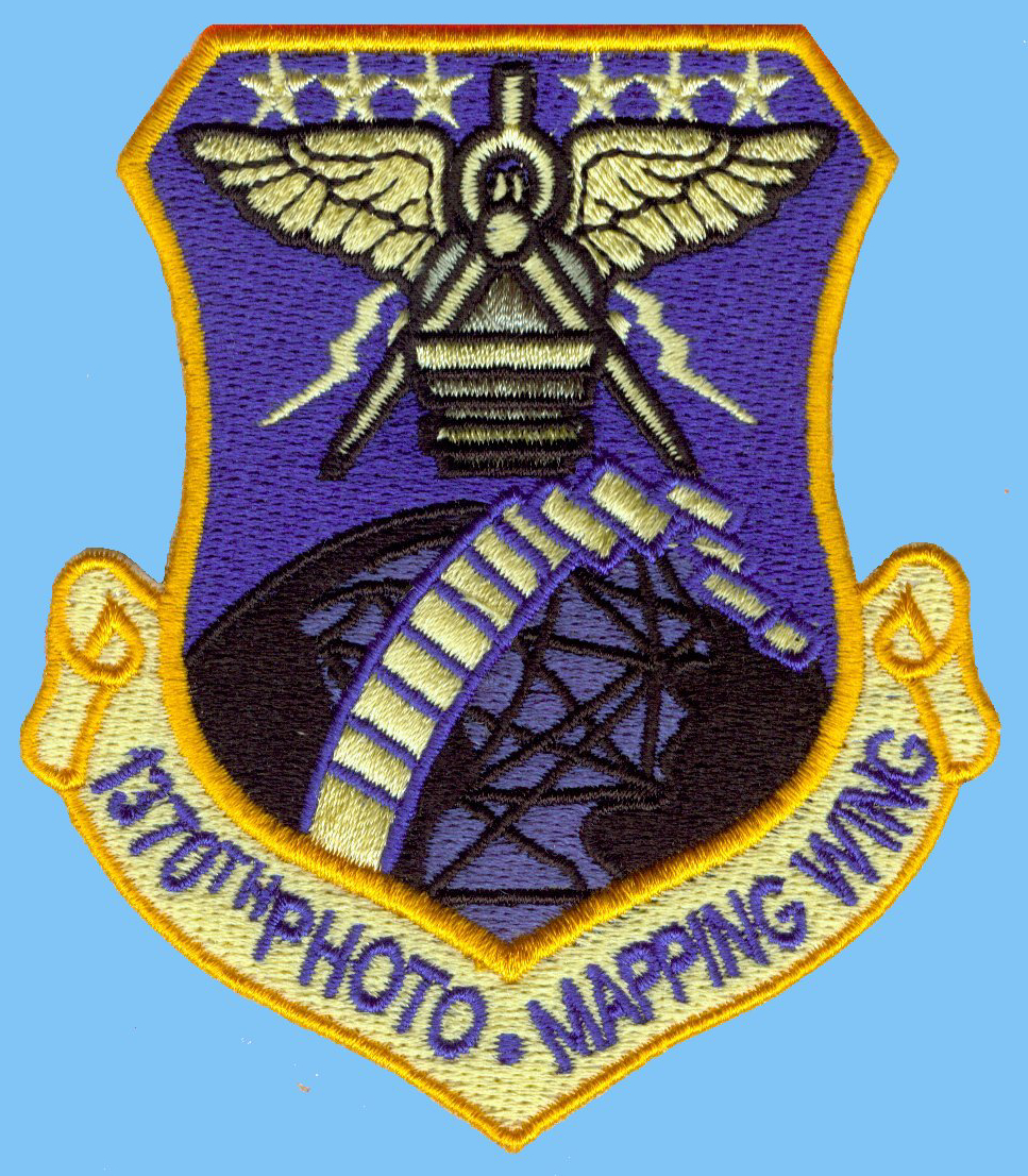
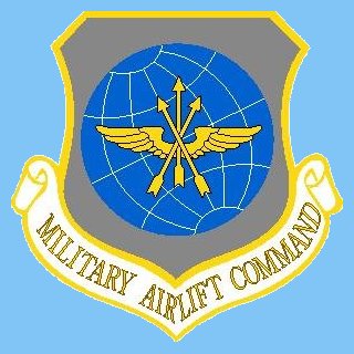
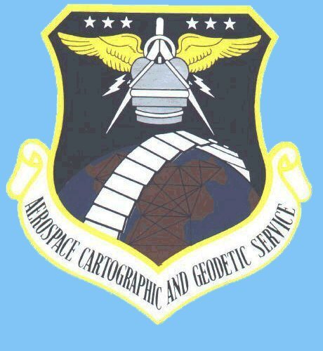
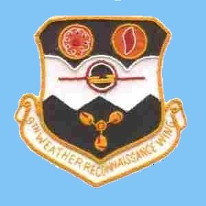
These Patches and Logos Were Used By Aerial Survey and Photomapping Units


Click Thumbnail for larger image


Services, Commands, and Wings


55th Strat Recon Wing Military Air Transport Service Air Photographic and Charting Service  Military Airlift Command Aerospace Cartographic and Geodetic Service

9th Weather Recon Wing


Squadron Units


3rd Photo Mapping Squadron 7th Geodetic Control Squadron, 311th RECON Wing 338th Strat. Recon. Sq.


1371st Mapping and Charting Sq. 1372nd Mapping and Charting Sq.  1373rd Mapping an Charting Sq. 1374th Mapping and Charting Sq.  1376th PMS, later 1376th CAMRON, then 1370th OMS and FMS


1370th OMS  RB-50F, AST 7, Clark AB, PI  1375th Mapping and Charting Sq.


Bugs Bunny Patch


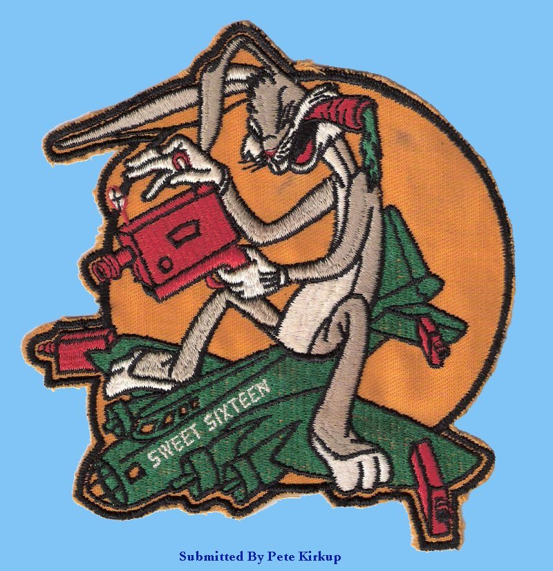
This patch submitted by Pete Kirkup was apparently used by an F-9(RB-17) outfit. Anyone know which one?


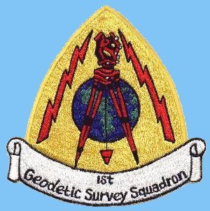
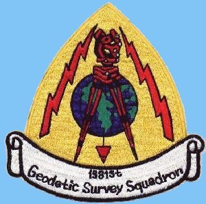
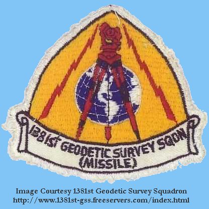
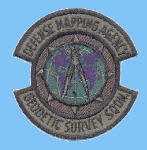
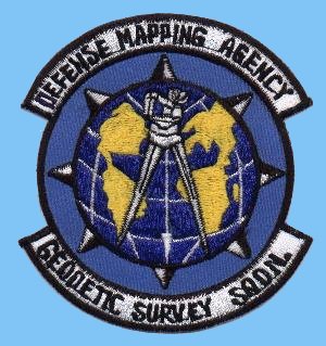
Geodetic Survey Units


Defense Mapping Agency, Aerospace Center Defense Mapping Agency


1st Geodetic Survey Squadron 1381st Geodetic Survey Squadron 1381st Geodetic Survey Squadron-Missile DMA Geodetic Survey Squadron DMA Geodetic Survey Squadron

USAF Geodetic Survey, Horizontal Control Station Marker