


Many Thanks To
For Their Sponsorship Of This Website
This site is preserving the history of the Aerial Surveying and Photomapping that was performed by the USAAF/USAF, 1941 to 1975
FOUNDED IN 1994
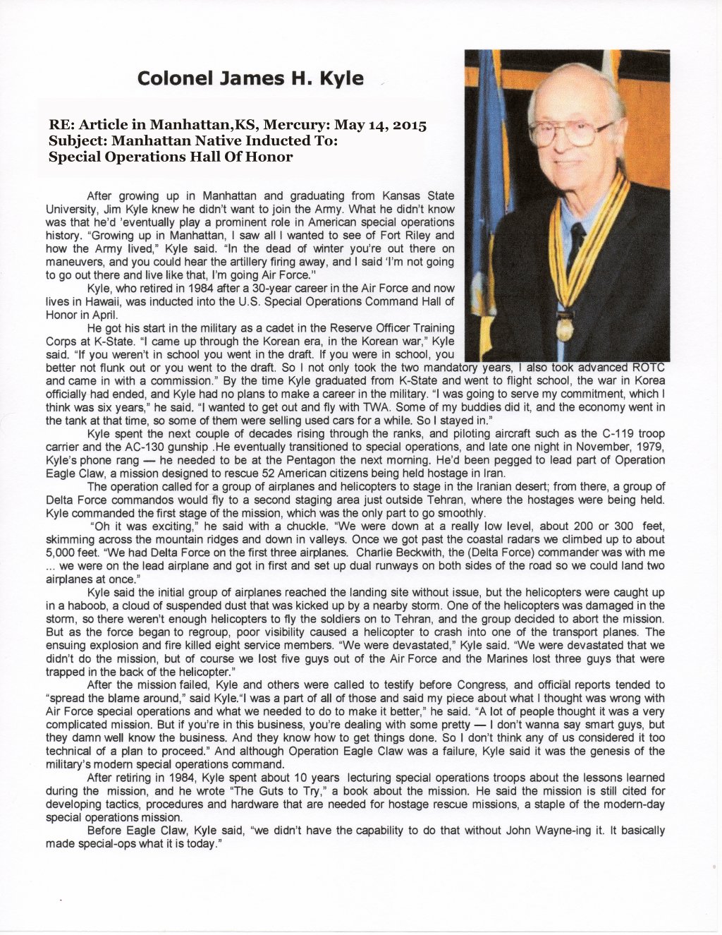
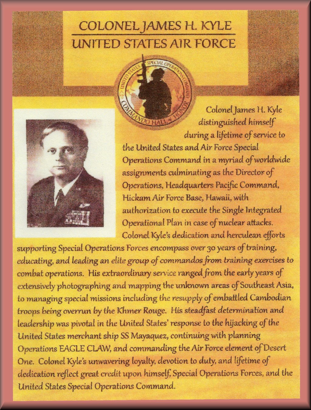
'NEW' Jim Kyle Inducted Into Special Operations Hall Of Honor
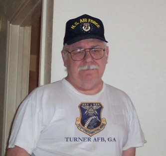
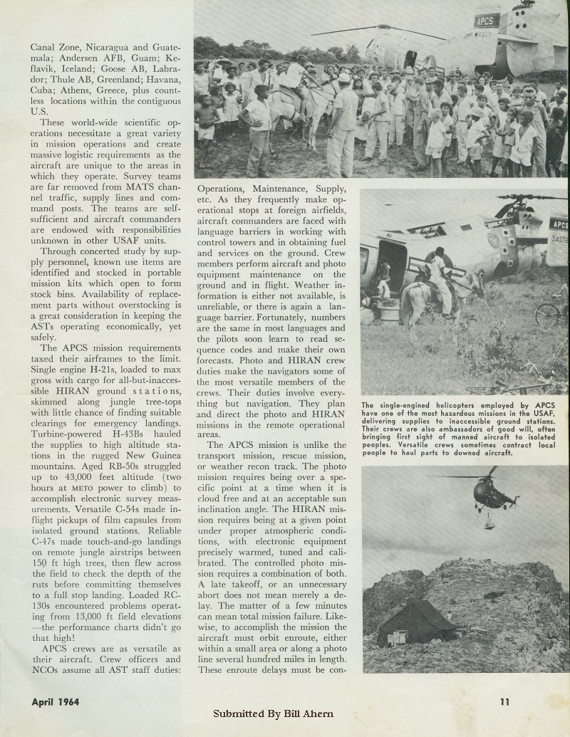
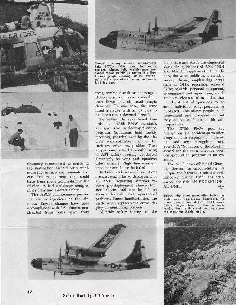
PHOTOMAPPING MEMORIES
ATTENTION PHOTOMAPPERS
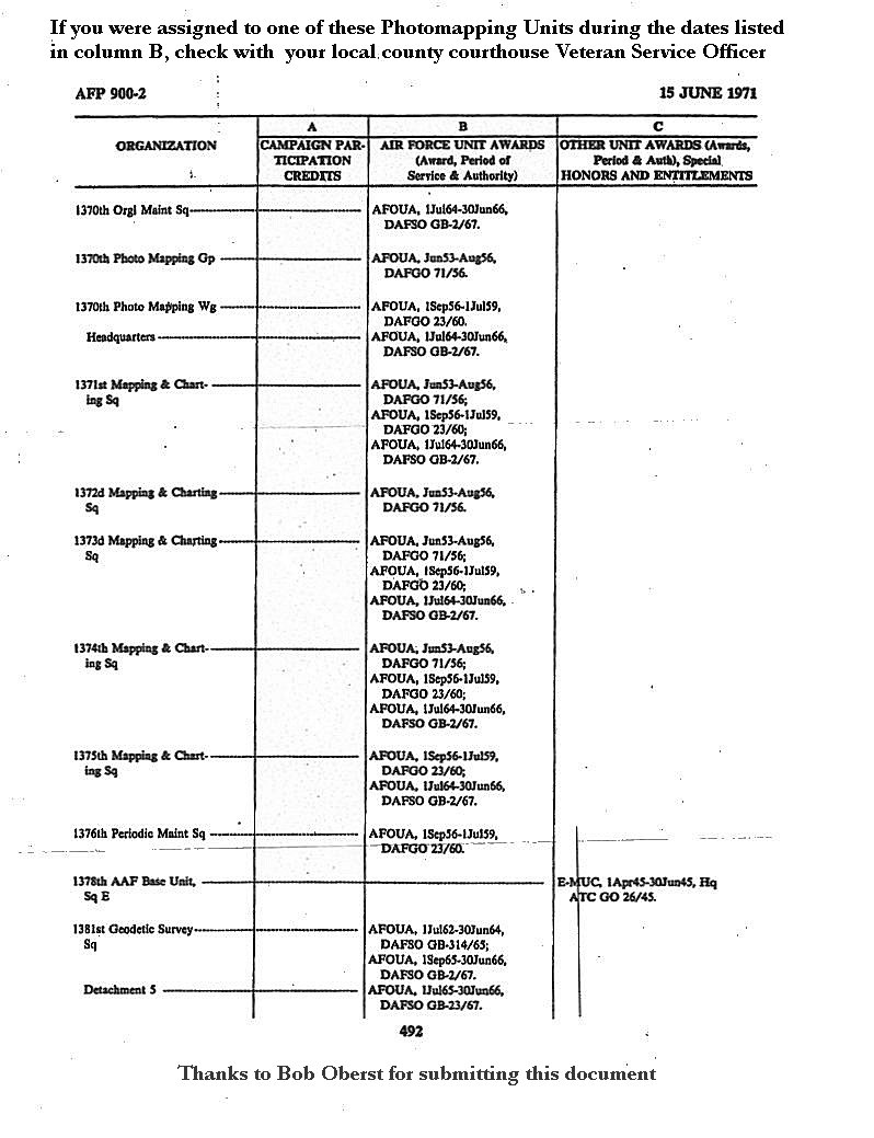
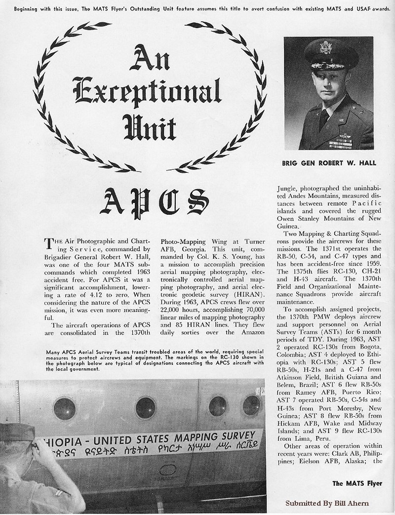
CLICK ON THUMBNAIL TO DETERMINE ELIGIBILITY FOR AIR FORCE OUTSTANDING UNIT AWARD MEDAL

A TRIBUTE AND THANK YOU TO OUR AGING VETERANS. DEDICATED TO VETERANS OF WWII & THE VETERANS OF THE KOREAN WAR WHO HELPED TO PRESERVE THAT VICTORY.
FINALLY, A LONG OVERDUE THANK-YOU TO VETERANS OF THE VIETNAM WAR
We are trying to collect as much info and images as possible, so if you have any, please drop us a line.
Since we lost Jimbo earlier this year (14Feb2023), we are working on who will collect and post any new material. Until then, email Jim Jr and he will get it to the right places. Jim (at) kinters (dot) com

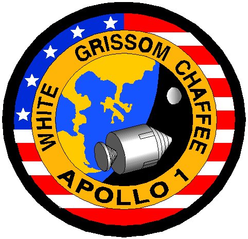
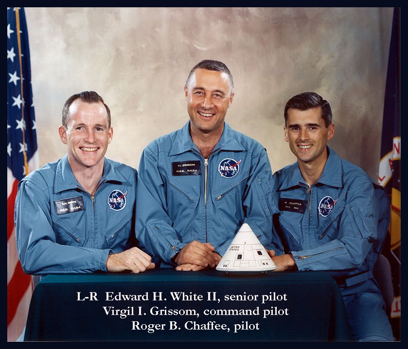
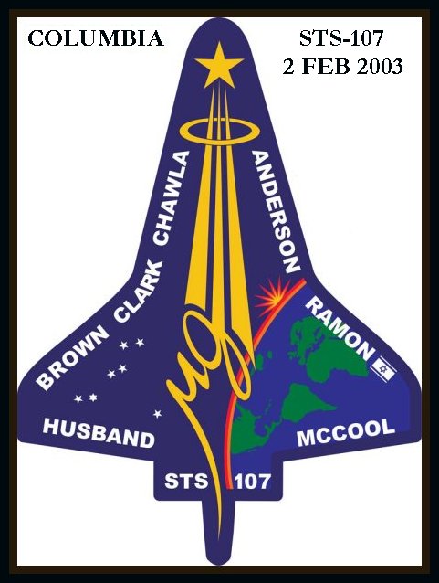
In Memory Of Our NASA Astronauts


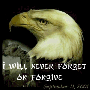
We May Forgive, But We Will Never Forget


Click for larger image

Click thumbnail for larger image. Click link to go to page
WEBHOSTING BY

© 2018-ASAPMH, 1370th.org, and AFPMA